
SEA LEVEL
Sea level – How high is the sea?
For more than a hundred years, sea level has been measured and evaluated all over the world. Based on these records, it has since been determined that sea levels worldwide are rising by an average of about 3.3 millimeters per year. But what does this mean for our planet? And what exactly is sea level?
Sea level is the height of the sea, which is also called NN. But sea level is not the same everywhere – quite the opposite! Depending on where in the world it is measured, different values occur. Although the world’s oceans are all connected, the various influences of the environment and nature have a direct effect on the respective level of the sea. Since most places keep their own measurements, there are countless sea levels in the world.
Nevertheless, scientists have been able to establish one worldwide connection: Sea levels are rising annually all over the world. If the rise in water level were to accelerate as a result of global warming, this could have serious consequences for many coastal areas.
The map shows the sea level at an increased water level. On the left side (mobile view: cogwheel top right) you can adjust the increase of the sea level. This allows you to find out which areas are affected by flooding.
Where are there floods? Which coasts are affected? Find out on the sea level map:
Using the sea level map, you can see the coastal regions that could be affected by flooding. Depending on the sea level rise, the places at risk are marked with red. Everything marked in red on the map is below the water surface.
 Even with a local sea level of 0.0 meters, flooding may be indicated because of the combination of sea level rise, tides, and storm surge
The height of the indicated water surface above the local guideline, is called the water level. “Guideline” refers to the recent historical average of the highest daily local tide level or mean high tide line.
If you are operating the map via computer, you can access the settings on the LEFT side of the map. If you are using the mobile view, you will have a gear to select from at the top right of the screen, which will open the settings menu
Here’s what you should know about sea level:
How do you measure sea level?
The level of sea water has been recorded since the 19th century. At that time, certain measuring gauges were used to evaluate the water level. However, these gauges are far too inaccurate according to the current state of science. Today, the influences that affect the constant change of the sea level are managed by the most accurate measurements of satellites. The satellites record all the data from an altitude of over 250 kilometers in order to obtain precise results.
Influences such as the tides (ebb and flow), ocean currents, wind and the Earth’s gravitational pull play an important role in the measurements.
Where is the sea level?
The height of the sea varies constantly and is also different in different places around the world. Most places use their own markers to indicate their average height
Where is the zero point of sea level?
Often certain central points of places are chosen to indicate the altitude. For example, this could be train stations, market places, churches and other places in the center. For the height of bodies of water, the average level of the water level is indicated.
How far can the sea level rise at most?
According to researchers, the sea surface has risen faster in the 20th century alone than in any other period in the last 3,000 years. It is unclear exactly how high the water will continue to rise in the near future, as global warming now plays a central role in sea level rise. According to current measurements, sea level could rise to more than 1 meter by 2100.
VIDEOS about sea level and global warming!
What happens when sea levels rise?
The constantly rising sea surface poses a long-term threat to many coastal cities and countries. On our sea level map, you will find a precise representation of what consequences a rise of the corresponding height would mean for the respective places.
The habitat for people and animals living on the coasts will be swallowed up by the sea. Thus, people will have to leave their homes and move to areas that are geographically higher.
Even islands will gradually disappear from the map: if the sea level rises by another meter, 80% of the land will be inundated by water.
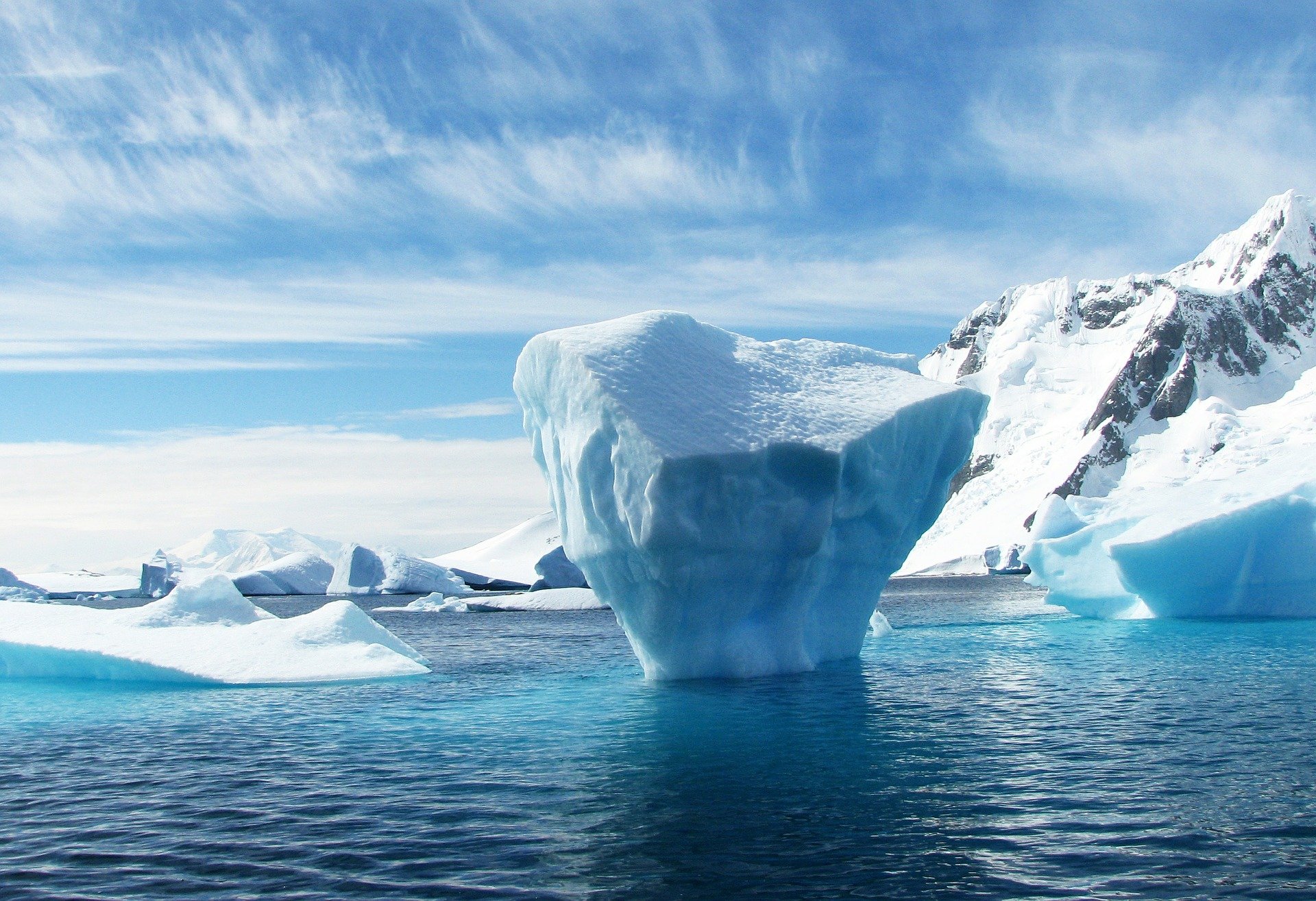
How high will the water rise if all the ice melts?
There are currently over five million cubic miles of ice on Earth. If this enormous amount were to melt from the poles and mountain tops, global sea levels would rise a full 66 meters! The consequences of such a change would be incalculable for mankind.